
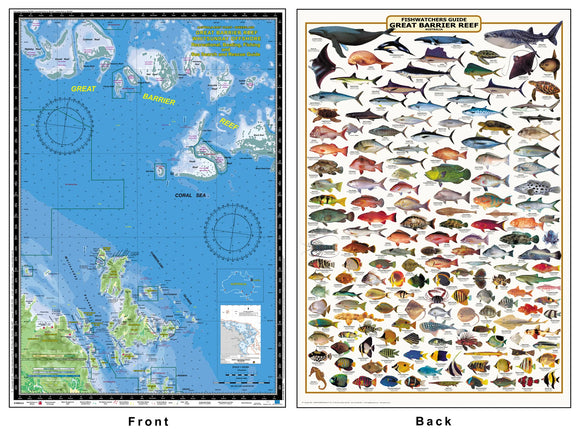

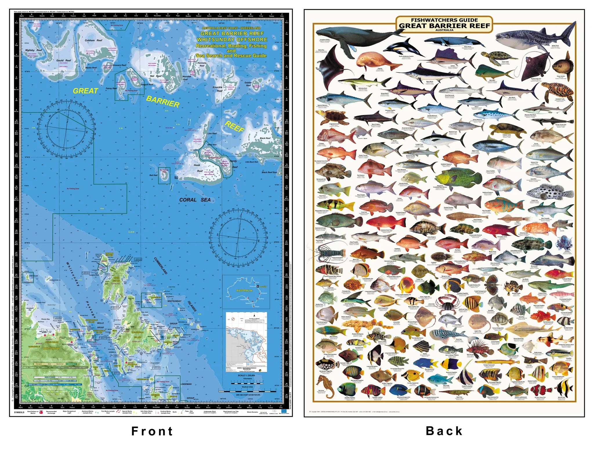
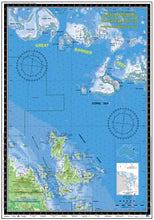
QLD Boating, Fishing, Marine Safety Chart - WHITSUNDAY OFFSHORE, GREAT BARRIER REEF REGION / MC660L
GREAT BARRIER REEF - WHITSUNDAY REGION
HOOK REEF, HARDY REEF, BLACK REEF, NET REEF, KNUCKLE REEF, KENNEDY REEF, COBHAM REEF, GOULD REEF, WALLABY REEF, HAYMAN ISLAND, HOOK ISLAND, WHITSUNDAY ISLAND,HAMILTON ISLAND, AIRLIE BEACH
Boating, Fishing, Marine Safety Chart - Camtas publication MC660
BONUS WALL CHART - Fishwatchers Guide, Great Barrier Reef reverse side
Size 48.5 x 70 cm
Features
- Water contours are shades of blue becoming progressively darker as depth increases
- Land contours become progressively darker as height increases
- Natural features, reefs,mangroves, sand types, mud, salt pans and others features are visually realistically depicted
- Grid reference system simplifies identifying positions for boating, fishing and rescue services
- Marine Emergency Search and Rescue contact details for Police and Volunteer Rescue Services phone numbers including radio frequencies monitored are easily located on the chart
- Navigation symbolsare clearly explained on the chart without the need for supplementary handbook
- Known information such as names, heights, depths, seabed, GPS marks, obstructions and navigational tracks included
- Satellite positions derived from the WGS1984 datum can be plotted directly onto this chart
- No fishing Zones, officially declared Smooth, Partially smooth, Open waters zones clearly indicated
- Lesser known information such as local knowledge of fishing and diving locations, local common names and information from latest satellite images are included at time of publication
- An affordable chart and perfect gift or reference guide both at home or on holidays